With the recent department shifts and reorganizing at the City of Denver, one thing seems to be coming up quite frequently with residential remodels, pop-tops, and new construction projects—Survey requirements. In the past, an architect, homeowner, builder, or developer could often get by with an Improvement Location Certification (ILC) to satisfy the building department requirements.
An ILC is not a boundary survey and is essentially the simplest form of a survey that can be provided for a property. Although an ILC does show existing improvements on the subject site, it should not relied upon for establishing fence lines, setbacks, building envelopes, etc.
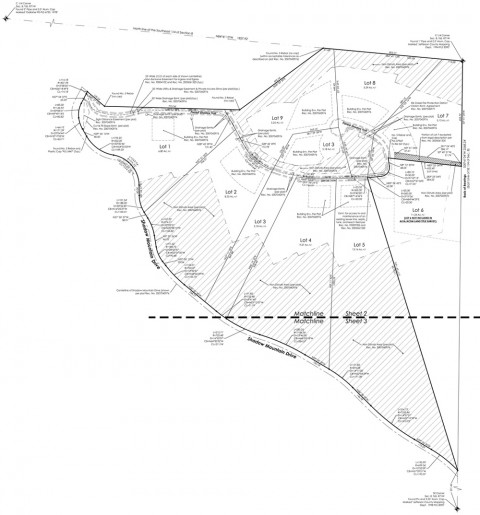
The City of Denver now requires that all remodels, pop-tops, and new residential projects include what they call a “pin survey” as part of the submittal process. A pin survey is a boundary survey that shows existing improvements. In the survey world this is referred to as an Improvement Survey Plat (ISP). Although an ISP is about three times the cost of an ILC it adds some tangible value to a property because all property corners are located and any corners that are missing are re-set. Therefore, at the end of the day, the owner clearly knows exactly where their property corners lie. In Denver the front property corners are typically set with rebar and a plastic cap with the surveyor’s license number. Rear corners (because they usually fall at the edge or in the alley) are set with a 1″ brass washer with the surveyor’s license number on it.
For clarity, below is a brief description of the most common surveys:
IMPROVEMENT LOCATION CERTIFICATE (ILC)
Basic drawing that shows general location of existing improvements relative to property boundary, however, this is not a boundary survey. Depending on size of lot, size of structure(s), existing property corner evidence. Turn around in 48 hours – most completed within 24 hours.
LAND SURVEY PLAT (LSP)
Also known as a boundary survey. Utilized to determine boundary lines and corners, determine encroachments, and/or construct new improvements on your property, etc.
IMPROVEMENT SURVEY PLAT (ISP)
Basically an LSP with some additional information regarding existing observable improvements. For example, streets, curb & gutter, sidewalks, dry utilities, wet utilities, etc. Can also include easements of record and topography if the client so desires. Utilized for more extensive proposed improvements and as a base for design services.
ALTA / ACSM SURVEY
Pretty much a cafeteria style survey where the client can pick items from an Optional Table A and create his own survey for specific purposes. The base required portion of any ALTA definitely meets the requirements of an LSP. It also includes some of the elements of an ISP. Which includes record Title research of easements and encumbrances to the property. Table A consists of 16 additional options that can be shown depending the goals of the project, requirements of the lender, etc.

