Surveying the Skies: Perry Stokes Airport and EVstudio’s Role in Regional Aviation
A Gateway to Southern Colorado
Perry Stokes Airport is located just northeast of Trinidad, Colorado. It serves Las Animas County and the greater southern Colorado region. The airport provides essential aviation access for small aircraft, charter flights, and regional economic development.
Originally built as a military airfield during World War II, Perry Stokes was later converted to a general aviation facility. The airport bears the name of Perry F. Stokes, a pioneering aviator who played a significant role in developing aviation in the region.
Over the decades, Perry Stokes Airport has become a vital transportation hub for this rural area. It supports emergency services, tourism, and economic activity.
Modernizing With Precision Survey Mapping
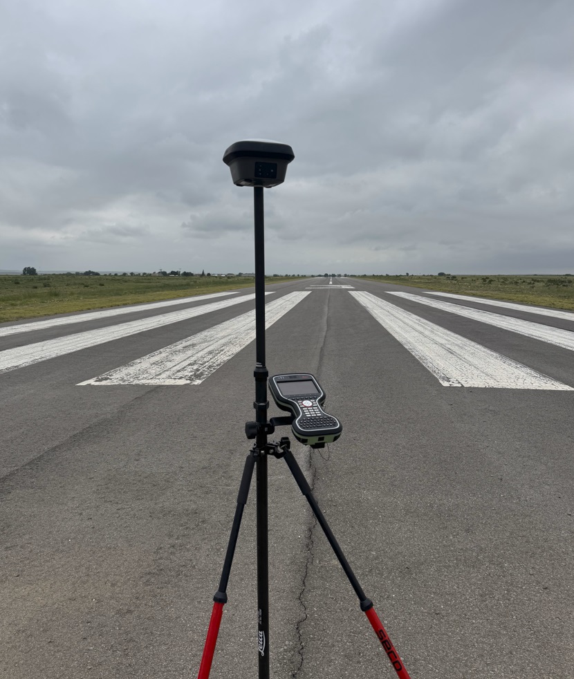
EVstudio recently provided survey mapping services for Perry Stokes Airport. This work is part of a broader effort to modernize airport infrastructure across Colorado. Accurate mapping is critical for runway safety, master planning, and funding applications.
Our Professional Land Surveyor, Mike Kervin, led the EVstudio team on this project. Using advanced GPS and survey techniques, the team produced a detailed and accurate map of the airport.
The resulting data supports planning, FAA compliance, and future development. Every elevation, obstruction, and structure was captured with precision. This ensures future upgrades meet aviation safety standards.
A Legacy of Airport Surveying
Mike Kervin brings extensive aviation survey experience to EVstudio. He has mapped approximately 50 municipal airports across Colorado, Utah, and Nevada. His expertise ensures compliance with FAA guidelines and local jurisdictional requirements.
These projects range from small regional airstrips to high-traffic municipal airports. His work supports airport layout plans, runway extensions, hangar expansions, and safety zone verification.
With Mike leading EVstudio’s surveying efforts, clients get deep aviation knowledge and field-tested processes. His work supports smarter airport design and long-term planning.
Serving Rural Communities with Advanced Tools
Many rural airports like Perry Stokes serve as lifelines to isolated communities. They support agriculture, medical transport, firefighting, and small business operations. Modern, well-mapped facilities increase safety and attract federal improvement funding.
EVstudio uses advanced tools—such as LiDAR, drones, and ground-based GPS—to produce accurate and timely maps. We work directly with airport managers, municipalities, and engineers to deliver clear and useful data.
Our maps help airport authorities make informed decisions, prioritize upgrades, and apply for FAA grants.
A Trusted Partner for Aviation Infrastructure
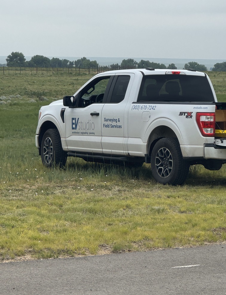
EVstudio is proud to support aviation infrastructure throughout the Mountain West. Our integrated team of surveyors, civil engineers, and planners ensures every project is well-informed and expertly executed.
Whether it’s runway grading, obstruction analysis, or perimeter fencing, we provide full-service survey solutions tailored to each airport’s needs.
Our experience across dozens of airports makes us a reliable partner for aviation-focused development.
Learn More
Read more about Perry Stokes Airport
Learn about FAA airport survey standards
Find our more about EVstudio’s surveying services